Search engine for discovering works of Art, research articles, and books related to Art and Culture


Javascript must be enabled to continue!
John Baptiste Homann, Early Map of the Moon - ca 1704 (ca. 1704)
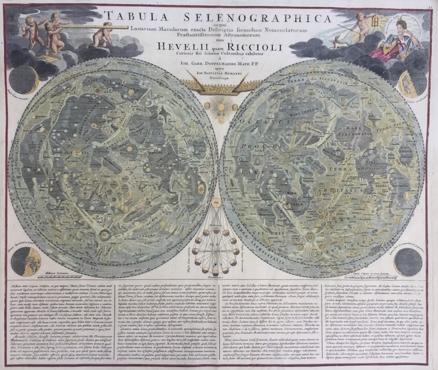
Title: John Baptiste Homann, Early Map of the Moon - ca 1704 (ca. 1704)
Description:
Engraving, 19 1/2 × 22 1/2 in.
Related Results
Malabar coast / publ. by A. Dalrymple ; Elched by P. Begbye ; writing by Harmar
Malabar coast / publ. by A. Dalrymple ; Elched by P. Begbye ; writing by Harmar
Comprend : View of the land of Goa, 1758 ; View of Cape Rama or Raymas, 1773 / Th. Barnes ; Islands of Goa, 1650 / Chas. Wilde delt. ; View of Goa Harbour, 1772 / Jas. Forbes ; Vie...
Malabar coast / publ. by A. Dalrymple ; Elched by P. Begbye ; writing by Harmar
Malabar coast / publ. by A. Dalrymple ; Elched by P. Begbye ; writing by Harmar
Comprend : View of the land of Goa, 1758 ; View of Cape Rama or Raymas, 1773 / Th. Barnes ; Islands of Goa, 1650 / Chas. Wilde delt. ; View of Goa Harbour, 1772 / Jas. Forbes ; Vie...
Planiglobii Terrestris Mappa Universalis...
Planiglobii Terrestris Mappa Universalis...
Engraving hand colored...
South west coast of England from Exeter to Land's End,
1539-40
South west coast of England from Exeter to Land's End,
1539-40
This is a map of the south-west coast of England,
from Exeter to Land’s End. It dates from 1539-40 and its creation
can be imputed to the threat of invasion which became probable i...
The Works of Horatio Walpole, Earl of Orford, vol. III
The Works of Horatio Walpole, Earl of Orford, vol. III
Illustrations: stipple engraving engraving and etching...
Illustrated London Almanack
Illustrated London Almanack
Illustrations: wood engravings and color lithographs...
PLAN of the Cities of LONDON and WESTMINSTER the Borough of
SOUTHWARK and PARTS adjoining Shewing every HOUSE. By R.
Horwood.
PLAN of the Cities of LONDON and WESTMINSTER the Borough of
SOUTHWARK and PARTS adjoining Shewing every HOUSE. By R.
Horwood.
This magnificent map covers 32 sheets, each
measuring 21" 5/8 x 19" 3/4. It was published sheet by sheet
between 1792 and99 and was the work of several engravers under the
directio...